SATCULT information
The SATCULT brochure with 12 Good Practices:
Die SATCULT Broschüre mit 12 Praxisbeispielen in deutscher Sprache:
Το φυλλάδιο SATCULT με 12 καλές πρακτικές:
The SATCULT information card in 4 languages:
Our SATCULT information cards in Italian and Greek are coming soon!
Useful instruments
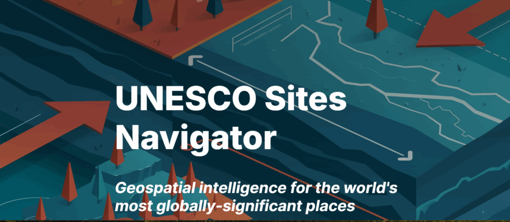
The UNESCO Sites Navigator is a powerful digital platform designed for the exploration, analysis, and monitoring of UNESCO-designated sites worldwide. Funded by the Flanders UNESCO Trustfund (FUT) and the Netherlands Funds in Trust (NFiT), the UNESCO Sites Navigator is a dedicated Geographic Information System (GIS) for UNESCO’s key designated sites around the globe. Of course, it would be wonderful to have such a tool for all cultural heritage sites, but with the UNESCO SITES Navigator, there is at least the opportunity to learn about the possibilities of satellite observation and how they can be used.
The UNESCO Sites Navigator is a unified, publicly accessible online platform that offers trusted geospatial data to support the monitoring, management, and conservation of UNESCO designated sites. Building on the World Heritage Online Map Platform (operational since 2023) and other internal tools, the UNESCO Sites Navigator enhances understanding of site boundaries, facilitating early identification of risks and helping States Parties monitor the conservation status of sites within their territories. It currently provides authoritative spatial data for World Heritage properties, Biosphere Reserves, and UNESCO Global Geoparks, and is particularly valuable for the integrated management of multi-designated sites.
https://whc.unesco.org/en/wh-gis/
Background studies, publications and articles in English:
This is a collection of materials which are used as background information in the SATCULT project. If you wish your article to be published here, please send the citation to satcult(at)media-k.eu .
European Commission.2020. Report on the user requirements in the Copernicus domain to support Cultural Heritage management, conservation and protection.
Agapiou, A., Lysandrou, V., & Hadjimitsis, D. G. (2020). Earth Observation Contribution to Cultural Heritage Disaster Risk Management: Case Study of Eastern Mediterranean Open Air Archaeological Monuments and Sites. Remote Sensing, 12(8), 1330. https://doi.org/10.3390/rs12081330
Cigna, F., Balz, T., Tapete, D., Caspari, G., Fu, B., Abballe, M., & Jiang, H. (2023). Exploiting satellite SAR for archaeological prospection and heritage site protection. Geo-Spatial Information Science, 27(3), 526–551. https://doi.org/10.1080/10095020.2023.2223603
European Commission: Directorate-General for Research and Innovation. Innovations for combatting trafficking in cultural goods. Publications Office of the European Union, 2024, https://data.europa.eu/doi/10.2777/9356439
M. Virelli, A. Coletta, D. Tapete, F. Cigna. (2023) COSMO-SKYMED: A SATELLITE TOOL FOR MONITORING CULTURAL HERITAGE. The International Archives of the Photogrammetry, Remote Sensing and Spatial Information Sciences, Volume XLVIII-M-2-2023 29th, CIPA Symposium “Documenting, Understanding, Preserving Cultural Heritage: Humanities and Digital Technologies for Shaping the Future”, 25–30 June 2023, Florence, Italy.
UNESCO. 2022. Monitoring world heritage from space. World heritage review, No. 98. (This publication is also available in French and Spanish.)
UNESCO. 2018. Five years of conflict: the state of cultural heritage in the Ancient City of Aleppo; A comprehensive multi-temporal satellite imagery-based damage analysis for the Ancient City of Aleppo. (The publication is also available in French and Arabic. It includes numerous example of the use of Earth Observation in war conflicts.)